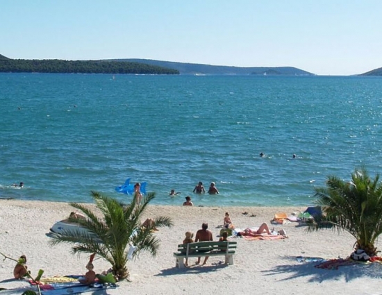
Extraordinary beauty
Get to know Omiš Riviera
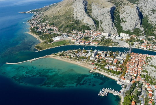
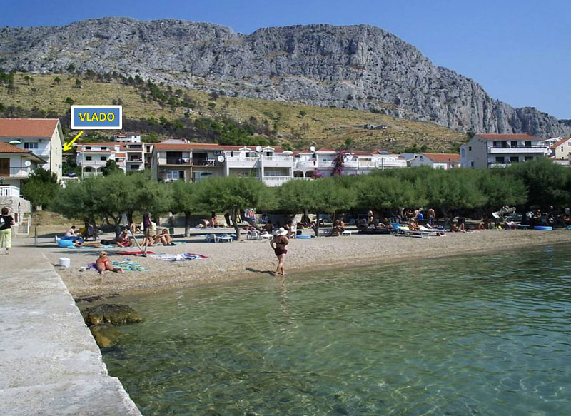
Omiš is a small Central Dalmatian town and harbor located between Split and Makarska, situated in the mouth of the Cetina River, surrounded with massive gorges. In the past Omiš was notorious because of the pirates of Omiš whose ships were a centuries-long symbol of retaliation, courage and strength. The evidences of proud and turbulent Omiš history can be found on every corner of the Omiš Riviera. Ancient town of Omiš, Omiš churches and Omiš fortresses are silent stone reminders of the power and the might of infamous Omiš pirates.